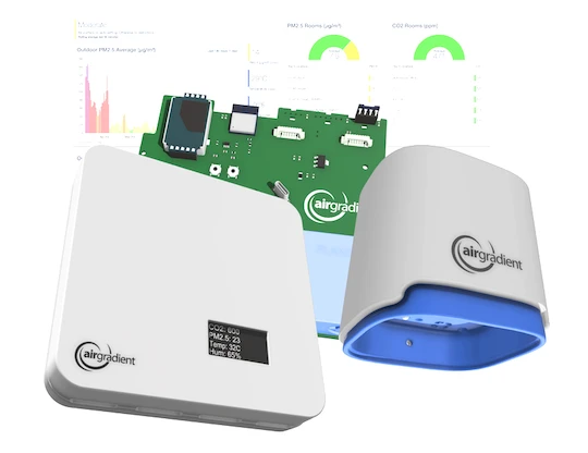
Open and Accurate Air Quality Monitors
We design professional, accurate and long-lasting air quality monitors that are open-source and open-hardware so that you have full control on how you want to use the monitor.
Learn MoreThis blog post was contributed by Agathe, a French engineering student working on a research project with HealthDEEP in Nan Province, Thailand. Her project explores the relationship between forests and air quality by creating a high-resolution air quality map. As part of this work, she is using AirGradient sensors to gather real-time PM2.5 data. In this post, she shares how the project came together and what it’s aiming to uncover.
I first read about HealthDEEP while I was looking for an internship abroad in the health sector. HealthDEEP is a French-Thai research lab working on OneHealth and biodiversity, exactly what I was looking for. When I got in touch with the director, Serge, he mentioned a new project he had been thinking about: exploring the links between forests and air quality. Three months later, I was in Bangkok building a real-time, high-resolution map of PM2.5 pollution!

The main idea behind the project is to understand the relationship between forests and air pollution. Do forests help mitigate air pollution? Does air quality affect biodiversity, like animal health or forest growth?
The lab has been working for many years with local communities in a specific area of Nan Province where you can see a gradient from city to remote villages, and then forest. Checking the existence of a PM2.5 gradient along with this urbanization gradient would really help answering the question. That is why I wanted to create a high-resolution map of PM2.5 in this area. To make it also useful for local communities, the map had to be in real-time.
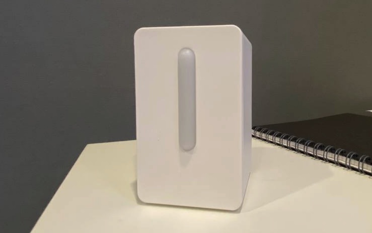
But to build the map, I needed data. That meant installing air quality sensors as no public sensor was available there. I got introduced to AirGradient through the French embassy. Their devices met all my expectations: low-cost, resisting heat and humidity, open-source and giving real-time data.
I started with four sensors that we installed in the region. The most difficult part was to find WiFi. In some villages, there is only public WiFi that needs SMS verification, which the sensors cannot do. And a storm had knocked out the power on the first day… However, we managed to get three sensors up and running, and I was able to create the first draft of our real-time air quality map!


I first focus on PM2.5 as it is the main pollutant in the region. I am using machine learning tools to make it as accurate as possible. Instead of just relying on raw PM2.5 sensor data, I also collect weather data as well as fire hotspots and topographic data. By training algorithms on all this data, I can predict PM2.5 everywhere and generate the map.

But this is mainly theoretical… Right now I need a lot more data to train the algorithm. The next step is expanding the sensor network to cover more space. Once that is set up, I will share the updates in a new article!
We design professional, accurate and long-lasting air quality monitors that are open-source and open-hardware so that you have full control on how you want to use the monitor.
Learn MoreCurious about upcoming webinars, company updates, and the latest air quality trends? Sign up for our weekly newsletter and get the inside scoop delivered straight to your inbox.
Join our Newsletter